Let’s work together.
Looking for an estimate to document your A.E.C. project? Fill out some info and we will be in touch shortly!
Our As Built Services
-
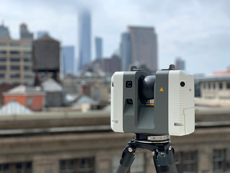
As Built Surveys
Harnessing the power of general laser scanning, our As Built Surveys provide comprehensive point cloud data, ensuring precise documentation of existing conditions.
-

As Built Drawings
Our As Built Drawings service transforms site data into detailed 2D CAD drawings, offering clear and accurate representations for planning and design.
-

Scan to BIM
Specializing in Scan to BIM, we convert laser scans into meticulous BIM and Revit models, facilitating advanced 3D CAD planning and visualization.
-

Drone Surveying
Utilizing drones for surveying, we deliver high-quality terrain models and photogrammetry, ideal for site inspections and detailed aerial mapping.
-

Orthophotos
Our orthographic Imagery provides geometrically corrected aerial images and maps of your construction project, offering a true-to-scale representation of your site, free from distortions and perspective shifts.
-

Concrete Scanning
Our Concrete Scanning service accurately assesses floor flatness and levelness, providing detailed elevation maps to ensure level and structurally sound floors.