
IAAC Global Summer School 2018: NYC Node
At the heart of the bustling creativity and innovation within Brooklyn's New Lab, Michael Robison and Dallas Bennett from MYND Workshop took the helm of a unique module for the 2018 IAAC Global Summer School (Institute for Art and Architecture of Catalonia). Their session, devoted to the intricate world of 3D reality capture, opened a new realm of learning for architecture and urban development students. The hands-on module didn't just hover over theoretical knowledge; it plunged the students into the practical universe of terrestrial laser scanning, mobile LiDAR, photogrammetry, and other sophisticated methods designed to digitize the physical world.
Dallas Bennett teaching IAAC Summer School students to operate terrestrial 3D laser scanner

Students using tablets and mobile phones to photogrammetry scan a fellow student
Teaching IAAC students how to register point cloud data

Teaching IAAC students how to clean point cloud data

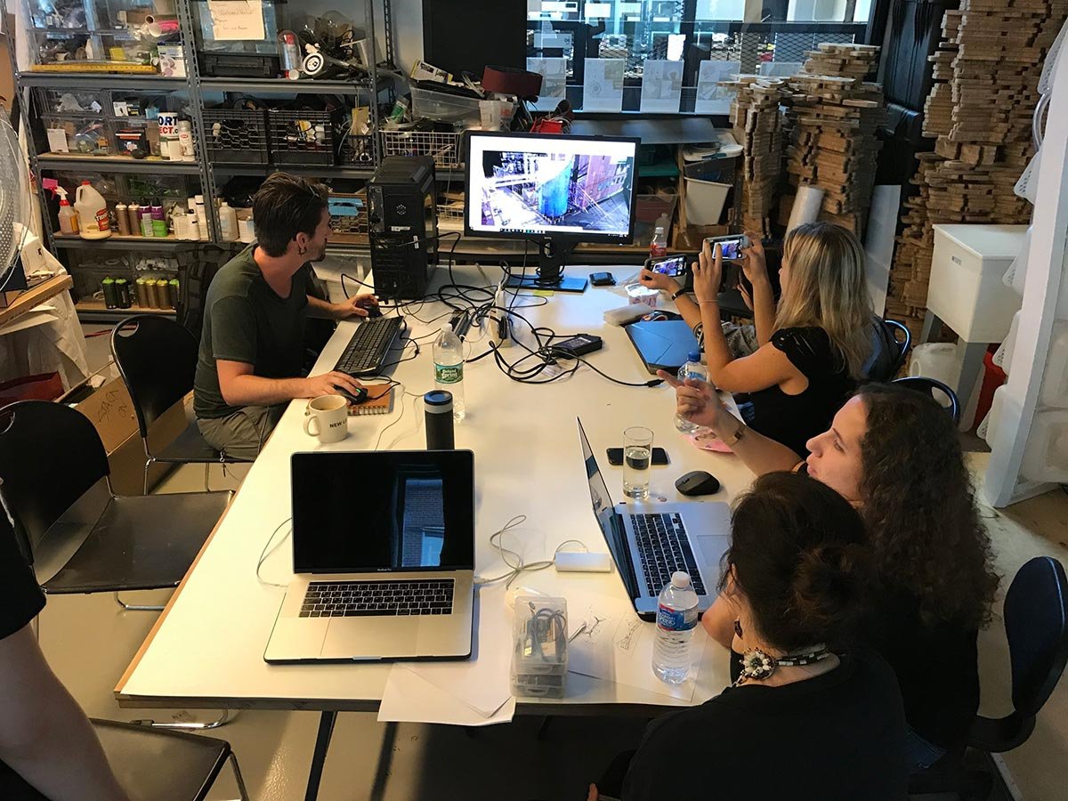
Teaching IAAC students how to import point cloud data into various programs

Students of the IAAC Summer School 2018 NYC, with Michael Robison (bottom left) and Dallas Bennett (bottom right)
3D SCANNING MODULE SYLLABUS

Description:
In this session, students will learn about the 3D reality capture process as it applies to architecture and the urban context. Studied capturing methods will include laser scanning, mobile lidar capture, photogrammetry and other related processes for capturing the built environment. Students will participate in the process of laser scanning a selected setting which will then act as a stage for data gathered throughout the course.

Tools and Workflow:
The laser scanning session will begin with a brief overview of the different technologies and workflows available. Students will then observe and participate in the process of capturing a selected space with a terrestrial laser scanner. Afterwards they will learn the process of capturing, processing, registering and exporting the resulting point cloud data which represents a 1:1 scaled 3D reconstruction of the space which they captured.

Learning Outcomes:
Students will learn basic workflow for laser scanning with a terrestrial laser scanner.
Students will learn how to process the data in Faro Scene and / or Autodesk Recap.
Students will learn about the various ways to utilize and visualize the resulting point cloud data.
Explore moments from the 2018 IAAC Workshop

Scanning The New Lab at the Brooklyn Navy Yard in Brooklyn, NY

Scanning The New Lab at the Brooklyn Navy Yard in Brooklyn, NY

Point cloud scan results of The New Lab at the Brooklyn Navy Yard in Brooklyn, NY

Point cloud scan results of The New Lab at the Brooklyn Navy Yard in Brooklyn, NY
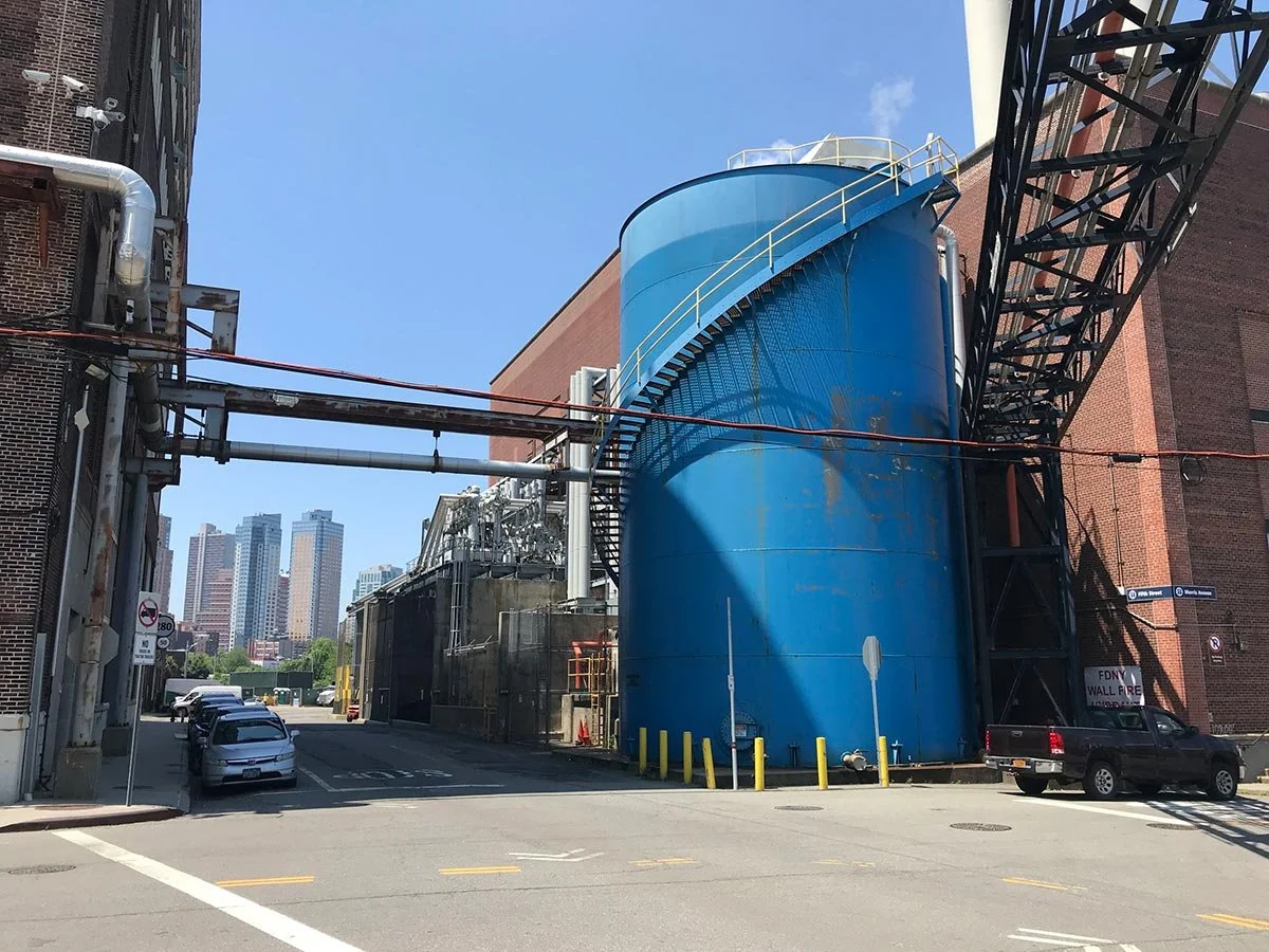
An area of the Brooklyn Navy Yard which was scanned by the IAAC 2018 students

Point cloud scans from the Brooklyn Navy Yard which was scanned by the IAAC 2018 students
The Brooklyn Navy Yard, with its rich tapestry of history and modern innovation, served as the perfect canvas for this educational venture. Students were guided through the entire laser scanning process, from the initial setup of the terrestrial scanner to the meticulous steps of point cloud processing. The aim was to not only capture the architectural essence of selected sites but to also imbue the students with the skills to transform raw data into usable formats for virtual applications. This experiential learning curve was designed to arm students with the knowledge to navigate the complex landscape of architectural technology, making it an invaluable addition to their educational journey.